
India officially names 28 locations amid China dispute over Ladakh

This move comes as China attempts to assert its territorial claims by renaming places in Arunachal Pradesh and Ladakh.
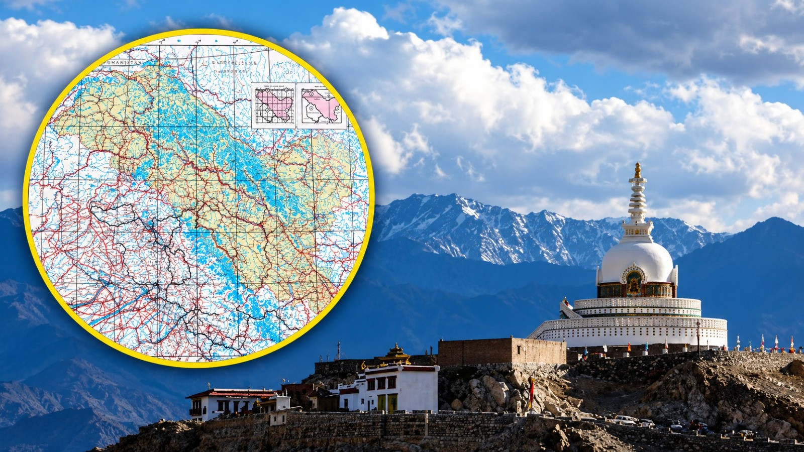
After Arunachal Pradesh, the central government has now formally designated the names of 28 locations and natural geographical features in Ladakh and recorded them on the map. The Ministry of Home Affairs provided this information on Friday. These include mountain peaks, hills, passes, glaciers, valleys, rivers, lakes, and other landforms. The ministry has also released a map marking these locations.
According to the Home Ministry,
The aim of formally identifying these locations on the map of Ladakh by the Survey of India is to ensure their accurate identification and to increase awareness about them among the general public. The ministry stated that this process was completed in consultation with the Ladakh administration.
Earlier in August, the central government had standardized the names of 27 locations and geographical features in Arunachal Pradesh. At that time, a map showing the relevant locations was also published. Now, by adopting a similar process in Ladakh, the local geographical identity has been clarified in official documents.
According to a report by Firstpost, this step has been taken at a time when
China has been attempting to advance its territorial claims by assigning Mandarin names to locations in Arunachal Pradesh and Ladakh. This strategy of asserting claims over a region through maps and naming is referred to as ‘cartographic aggression’. China presents these Indian territories as linked to Tibet.
China refers to Arunachal Pradesh as ‘Zangnan’, meaning Southern Tibet. The use of Chinese names for Indian locations is not merely seen as a renaming exercise. It is also viewed as an attempt to present the historical and geographical identity of those areas in line with its claims. The Indian process of naming and mapping in Arunachal and Ladakh is significant in this broader context.
China expert Anushka Saxena had previously stated in an interview that China aims to present history in a new way through the renaming process. The objective is to strengthen its claims over those areas, which it deems disputed, even if they are not actually disputed.
According to Saxena, an associate fellow at the Takshashila Institution's geo-strategy program,
China also wants other countries and governments to start using the names it provides. This could help gradually establish the identity of the relevant areas as part of China's mainland. According to her, China adopts such naming processes in response to actions that violate its ‘red lines’.
The list released for Ladakh includes all 28 locations and their geographical categories as follows:
| Serial Number | Name of Location | Geographical Category |
| 1 | Atisha Giri | Mountain Peak |
| 2 | Brangsa | Landform |
| 3 | Chapchingal Pass | Pass |
| 4 | Kanishk Peak | Mountain Peak |
| 5 | Karun Pir | Hill |
| 6 | Kuksal | Landform |
| 7 | Martand Giri | Mountain Peak |
| 8 | Parapik | Glacier |
| 9 | Skamri Glacier | Glacier |
| 10 | Shachmirk Pass | Pass |
| 11 | Shkorga Valley | Valley |
| 12 | Jorawar Peak | Mountain Peak |
| 13 | Dehra Compass | Landform |
| 14 | Drak Karpo | Hill |
| 15 | Gogra | Landform |
| 16 | Jolamori | Hill |
| 17 | Kumarayan Point | Landform |
| 18 | Panglung | Landform |
| 19 | Rinchen Zhangpo | Mountain Peak |
| 20 | Shakyashri Giri | Mountain Peak |
| 21 | Guru Rinpoche | Lake |
| 22 | Shamal Lungpa | Landform |
| 23 | Yangpa River | River |
| 24 | Hot Spring | Water Body |
| 25 | Marpa Lotsava Ri | Mountain Peak |
| 26 | Milarepa Kangri | Mountain Peak |
| 27 | Shiv Ri | Mountain Peak |
| 28 | Maheshwar Ri | Mountain Peak |
This list includes a total of 11 mountain peaks. In addition, eight geographical areas, three mountains, two glaciers, and two passes have been recorded. One valley, lake, river, and other water bodies have also been officially recognized. In this way, the list clearly documents different types of geographical features on a map.
China's use of Mandarin names for places is not limited to India. It uses the name ‘Xizang’ for Tibet and ‘Xinjiang’ for East Turkestan. These names and their usage are linked to a broader ‘Sinicization’ campaign, which has been accused of imposing harmful identities and cultures on minority communities and erasing their original cultural identities.
When the names of places in Arunachal Pradesh were announced in August, an official told Hindustan Times that China takes advantage of the ambiguity regarding maps to assign fictitious names to Indian territories. According to the official,
the recording of places on the maps of the Survey of India brings clarity, strengthens India's position, and improves the official documentation of geographical features. The new list from Ladakh also clarifies the identification of places in a similar manner.